10.9 km | 16 km-effort
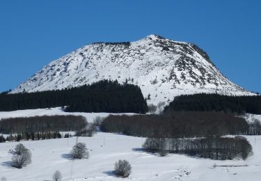
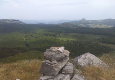
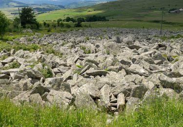
Ardeche 7 - Ferme Verden - Les Estables
crinièresdumeygal
User
Length
18.7 km
Max alt
1669 m
Uphill gradient
792 m
Km-Effort
28 km
Min alt
1174 m
Downhill gradient
462 m
Boucle
No
Creation date :
2022-03-09 15:43:56.826
Updated on :
2022-08-03 14:45:20.428
FREE GPS app for hiking
About
Trail of 18.7 km to be discovered at Auvergne-Rhône-Alpes, Ardèche, Le Béage. This trail is proposed by crinièresdumeygal.
Positioning
Country:
France
Region :
Auvergne-Rhône-Alpes
Department/Province :
Ardèche
Municipality :
Le Béage
Location:
Unknown
Start:(Dec)
Start:(UTM)
588351 ; 4964888 (31T) N.
Comments
Trails nearby
suc du montfol et lauzière
Walking
Easy
Le Béage,
Auvergne-Rhône-Alpes,
Ardèche,
France
2h 32min
Yes
Circuit de l'eau. Cross de Georand. Ardèche
Walking
Medium
Cros-de-Géorand,
Auvergne-Rhône-Alpes,
Ardèche,
France
12 km | 18.4 km-effort
7h 27min
Yes
Le tour des cinq sucs au départ du Béage
Walking
Medium
Le Béage,
Auvergne-Rhône-Alpes,
Ardèche,
France
16.9 km | 23 km-effort
5h 19min
Yes
Grand tour lac d'Issarlès
Walking
Medium
Le Lac-d'Issarlès,
Auvergne-Rhône-Alpes,
Ardèche,
France
10.3 km | 15.5 km-effort
3h 37min
Yes
2023-01-26_11h39m18_Le Béage-Tour des Sucs 15km.gpx.xml
Walking
Difficult
Cros-de-Géorand,
Auvergne-Rhône-Alpes,
Ardèche,
France
15.2 km | 23 km-effort
5h 8min
Yes
Le tour du Lac
On foot
Easy
Le Lac-d'Issarlès,
Auvergne-Rhône-Alpes,
Ardèche,
France
3.6 km | 4.6 km-effort
1h 2min
Yes
Par les Sucs de Montfol et de la Lauzière - Le Béage
Mountain bike
Difficult
Le Béage,
Auvergne-Rhône-Alpes,
Ardèche,
France
19.5 km | 27 km-effort
3h 0min
Yes
Par les Sucs de Montfol et de la Lauzière - Le Béage
Walking
Difficult
Le Béage,
Auvergne-Rhône-Alpes,
Ardèche,
France
19.5 km | 27 km-effort
5h 30min
Yes
Tour de ouf du Montfol - Le Béage
Walking
Difficult
Le Béage,
Auvergne-Rhône-Alpes,
Ardèche,
France
12 km | 16.9 km-effort
3h 30min
Yes